Our North Channel Trip

Ahoy,

We're planning a trip up to the North Channel this year.  Our route starts in Lake St. Clair, then takes us up to Port Austin, Alpena, then Mackinac Island.  From there we head across to Meldrum Bay in the North Channel.  Form there we'll explore several anchorages and marina's on the way South till we end up in Tobermory.

We'll be taking pictures and videos along the way and plan to share them along with descriptions of the incredible sights and sounds of the North Channel and Georgian Bay.

This is an image of where we ended up going on this trip.


To see Charlotte's blog of this trip visit https://www.facebook.com/TigsToyFourNow/

Day 1 Port Austin

We're off to a good start.  Left home around 9:40am and had a nice ride up the St. Clair River.  Got our picture taken by Steve and Clair as we went past their dock.

Stopped in Port Huron for fuel and lunch.  Sadly the Thumb Coast Brewery is no longer in business so we had to anchor in front of a beach in Lake Huron and made lunch there.  We no sooner finished eating and we had visitors.  Steve and Clair came by to wish us well on our trip.

It was a long ride, about 4 and a half hours all together, but we got to Port Austin without issues. We ran into some 1 foot rollers that were spread way out so it made the ride a little like a roller coaster at times. But not a bad ride.

Once in port we found a place to eat and Charlotte took some sunset pictures.

Forecast for tomorrow looks good.  Should be a nice ride to Alpena.


Day 2 change of plans


This morning we were talking to the folks docked next to us and they mentioned that Presque Isle was a better destination than Alpena harbor. Then at the gas dock an conservative officer told me the same thing, that if we didn't have to go to Alpena then we might want to skip it.  She called the Presque Isle marina for us and they said they had a slip for us. So headed to Presque Isle instead.

The water in Saginaw Bay was a lot like what we got on the way up to Port Austin. But once we got 2 hours North and closer to shore it calmed down to trailing 1 foot rollers.

Slowed down to get pictures of Thunder Bay Island lighthouse.  We've been to the light before. But can never have enough lighthouse photos.  Went to get back on plane and something sounded funny. Noticed I lost steering. Shut down and open the engine hatch for a look. Took a while to figure it out but a pulley for the V belt failed. As in came apart. The belt was still in one piece but glad I picked up a spare. 

Called BoatUS for a tow. Operator says they don't have a service provider in the Alpena area but they'd call the Coast Guard and Sheriff. Then the Coast Guard calls. Said they heard that Tow Boat was on their way and are we alright. I explain that the lady at BoatUS told us nobody was on the way. Coast Guard says they'll call back.

About 20 min later the sheriff boat shows up. They ask if we need help bit don't seem aware of our call.  I give them our status and they offer a tow.  While they get in position Coast Guard calls back to check on our status. Tell them help has arrived.

Next is the 12 or so mile tow to Alpena at 6MPH....


Tied up in the marina.  There is a marine store here which will be open at 9am.  I have the old pulley out.  The bearing ceased.  Came out easy and should go in easy.


Day 3 Alpena (stranded)

Monday morning at 8:55 I went up to the marine store here in Alpena marina. The owner saw me sitting on a  bench and asked if I was waiting for him to open or just holding the bench down. Showed him the exploded pulley and he nodded.  He said he didn't carry parts like that but he could put me in touch with a Merc dealer.

Spoke to the Merc dealer and got the part nailed down and ordered.  Went ahead and ordered 2. Might as well swap out the pulley on the Port motor while I'm at it. His wife will bring them here once they arrive at the shop.

I went up to thank the marina owner and give an update. He gave me a map of the area and suggested some places to check out.  Have to say the folks here are very accommodating.
We walked to the NOAA Marine Heritage center. It's a small museum that has a glass bottom shipwreck tour.  We decided to go on the tour. From reading the exhibits there are estimated to be 150 wrecks in Thunder Bay. So far they know the exact locations of about 50.
We got on the tour boat Lady Michigan. She has 2 Decks. Top is open except for the pilot house. The bottom has the viewing area and more seats.


Before we got going I mentioned to the captain that it was us he hailed while being towed in.  We were in the channel getting switched to a side tow when they were returning from a tour.  He starting asking about our boat and out trip.  We filled him in on our adventure.

The tour was about 2 hours. Once clear of the channel and at cruise speed the captain invited us to sit with him in the pilot house. We chatted about the area, his experiences and ours.  When we got near the first wreck we headed down to view and he said to come back for the return trip.
The water is fairly clear and the wrecks are fairly shallow.  These things have been under water around 150 years but there is still a lot you can identify.

The eclipse was taking place and we tried to get some pictures. The best ones were when it was cloudy. We got to see the sun at about 50% blocked.
We saw 1 more wreck and went by Thunder Bay Island lighthouse (which is where this part of the adventure started).

On the way back we sat with the captain again.  He asked when we'd have the part we needed to get back under way. We said Tuesday. He said we'll you will be in Alpena a couple more days then.  That's when we found out there were gale warnings for Tuesday and Wednesday. Waves of 4 to 6 feet with possible 10 footers. 

We'll watch the weather and see what we end up with but for now we appear to be stuck in Alpena.


Day 4 Presque Isle

9am I went to the marina store and bought a new bulb for the dinghy fuel line. The old one was dry rotted and ready to come apart.  And what should be waiting for me but the pulleys. UPS had just delivered them.

Went ahead and replaced the pulley on both engines. Put the spare belt on the starboard engine and kept the old working pulley and old belt as spares. Both engines are now operational.
The forecast was calling for gale force (30 mph) wind and waves of 4 to 6 feet.  But the local observation was 15 MPH wind and waves of 1.5 feet. So we decided to see how much progress we could make.

Our target was Rogers City, 50 miles away.  Mackinaw is 100 miles from Alpena, way too far for rough conditions. We headed out around 11:30. It was a little bumpy for the first 7 or 8 miles.  Then when we got past Thunder Bay Island it got really windy and we saw 2 foot waves.


Turned North and did OK until we made the turn West near the top of the mitten.  Then we hit the full force of the wind with 6 foot waves.  We had gone about 20 miles and were close to Presque Isle.  A big (over 6 foot) wave sent us up pretty high.  I had to drop off plane and slow to about 8 mph.  We were about 7 miles from Presque Isle by then. So we decided to head there instead.  Once we got in the bay, the waves calmed down but the wind was still howling.  We got into the marina and our well with some help from the marina staff and got settled in.


Went to Old Presque Isle lighthouse.  Then took a walk on the breakwall.  There is a small party store and a restaurant here, but not much else. 


Forecast for tomorrow is the same, really windy and serious waves so we'll be hanging out here 1 more day.

Day 5 Presque Isle

No change in the weather. The wind is howling and the waves are high.  While we're waiting out the bad weather we got laundry done and cleaned on the boat some. 

After lunch we walked to New Presque Isle lighthouse. We visited here several years ago but it's a pretty light and worth a visit. We walked up the lighthouse tower and took pictures.


After supper we may take a walk out on the breakwall, then pack some things up and watch a movie.

Weather tomorrow looks very good. We're going to try to leave by 8:30 after we get a pump out. 

Fingers crossed for quiet weather here on out.

Day 6 Mackinac Island

We left Presque Isle around 8:30. We had good water until the last 25 miles which put us in sight of Bois Blanc Island.  It got too rough to stay on plane.

We pushed along at 10mph for about 5 miles then the water flattened out and we could get back on plane.


We came in past the entrance to the Mackinac Island Harbor and headed to the Mackinac Bridge.  Once under the bridge we cheered for having hosted to Lake Michigan!  Then since we were in the neighborhood we ran over to St. Helena Lighthouse and took pictures from the water. We headed back toward the bridge swinging down to McGulpin's point to try and glimpse the lighthouse there but it wasn't visible from the water.


After a few selfies with the bridge in the background we headed in to the Mackinac Island Harbor.  The marina is nice and they have a helpful staff but no gas dock. We'll have to motor over to the only gas dock on the island before we leave.


We spent the afternoon and evening walking along Main Street shopping for souvenirs. Supper was at the Pink Pony.  We found the grocery and will pick up some provisions.

There was some evening entertainment. Just before dark a 40+foot sailboat was coming in to the well almost across from us. They mis-judged their speed and hit the dock then swung and took out the power/water post breaking the water line inside and sending a stream of water about 15 feet up.  The marina staff took care of it quickly and made the area safe.

Tomorrow we'll do the touristy stuff (fort, horse drawn tour).

Day 7 Mackinac Island

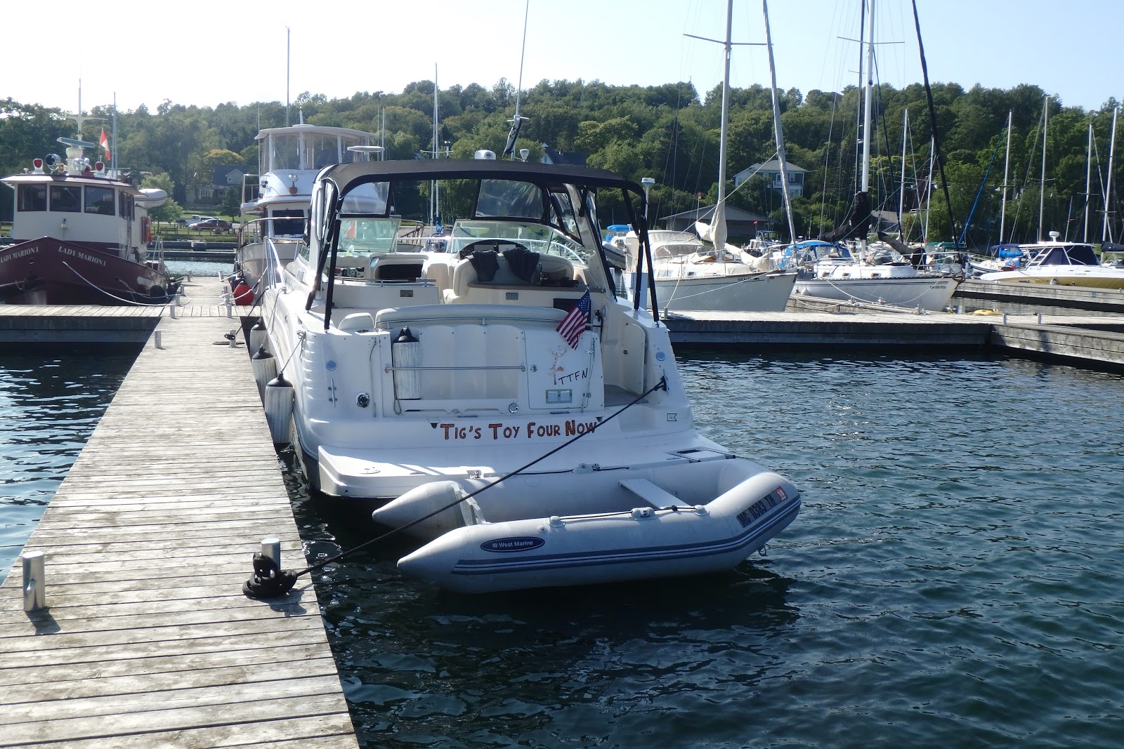
Unlike our other stops we had actually planned to be on Macinac Island for 2 days. Today was for tourist stuff. We decided on an ambitious schedule, but dialed back as we went.

We slept in, then after breakfast we headed up to Fort Mackinac. Famous for being surrendered to the British at the beginning of the War of 1812, they have soldiers in period 1880 uniforms and perform canon and rifle demonstrations.  We walked around and took pictures of the boat from the battlements.  Then ate lunch at the Fort Mackinac Tea Room. The Tea Room has a patio outside with a great view of the harbor.


The climb up the hill to the Fort is very steep. There is a back entrance that is also a drop-off for the carriage rides.  We went out the back way to the paths leading to other sights on the island.
First was Skull Cave which is a shadow of itself.  It was caved in back in the 1970s because it was deemed a safety hazard.


Then we walked to the stairs leading to Fort Holmes and the highest point on the island.  From there we could see the straits and Bois Blanc Island very well.  I took some wide angle pictures with the Gopro from there.


Back down the stairs and a mile or so down the road is Arch Rock.  The water of the lake is very clear and the view from the rock reminds me a lot of the waters of the Caribbean.  The photos can't do it justice.


The walk back took us past Mission Point resort and St. Ann's church.


We took a break back at the boat before our next excursion, a horse drawn carriage ride.  The ride is 2 parts. First the go down Market Street which has some shops we'd misses earlier.  Then the tour goes up to the Grand Hotel. 


The hotel has a less than pretty past.  The first 60 years it didn't make money.  The tour guide suggested this was due to them knowingly building it on Indian burial grounds.

Next stop was the stables of the tour company which had some shops and donuts that rival Yates Cider Mill according to Charlotte.  We were let off here and would change carriages after a look around.

The second leg of the tour took us were we'd just walked.  But this time we had narration.  The tour ended at the Governor 's Summer residence. Sort of like Camp David at the state level.
We did a little shopping on the way back to the boat and decided that riding the 8.2 miles around the island on a tandem bike would have to wait for our next visit.

We had supper in town and had a quiet night with a movie.

Weather tomorrow for our trip to Gore Bay looks great.  We changed plans (the theme of the whole trip it seems) because there is no fuel at Muldrum Bay.

Day 8 Gore Bay

With gas at $4.80 a gallon on Mackinac Island I elected to motor over to St. Ignace to get fuel. It's only 5 miles away and gas was $3.85.

St. Ignace Lighthouse


We didn't start as early as we could have.  It was 11am before we got on the "road" to Gore Bay.
The lake was like glass for the entire run.  Made for a great ride. 

It's 100 miles from Mackinac Island.  We made a couple stops along they way to see the Martin Reef lighthouse and the DeTour Reef lighthouse.  Both are only viewable from the water.  So far that's 3 lighthouses added to our list of visits.

Martin Reef Lighthouse

DeTour Reef Lighthouse

The town of Gore Bay is tiny.  The surrounding area is mostly undeveloped and really beautiful.

We ate at a local restaurant and walked around to take some pictures.  Time to look at the local guide book to plot tomorrow's travel.


Charlotte met a new friend


Day 9 Benjamin Islands

I finally took the time to test out the upgrade to my drone this morning at Gore Bay marina.  I discovered that following the directions is very important. The upgrade was mostly a replacement of the body. In an effort to preserve the decals on the drone I replaced the bottom but kept the old top.  I figured it out when the replacement battery door would mot stay attached.  For the most part it flies ok, but  I'll need to switch the top when I get home.

It was a short ride (15  miles) to South Benjamin Island. We anchored in a bay on the North East part if the island just South of North Benjamin Island.  After lunch we dinghied around a little.  The island is pink quartz/granite.  Lots of rocks near shore but sand and weeds in the water.


We got ashore and took pictures and decided we'd move the boat when we got back.  The wind was out of the East making it a little bumpy.  The islands form a circle.  So we headed to a bay on the South West side of Croker Island. 

We picked a spot to anchor but not knowing the condition of the bottom we guessed at anchor location.  We would swing on the anchor and might hit the sheer rock shore so we move to a spot a little more open bit safer.


It looks like the common practice with islands lime this is to drop anchor about 50 feet from shore, then take a line to shore and tie it to a tree.  We'd need a good length of line to do that. Might have to go shopping tomorrow.

It's beautiful here, lots of islands, trees and sky.  There were 7 or 8 boats in the bay but they almost all left after we showed up. I hope it was because they had to work tomorrow and not them saying "damn Americans".

Should be a pretty nigh on the hook. Calm water and good sleeping weather.

Day 10 Little Current

We had a really nice night at Croker Island. It was raining lightly when I ate breakfast and got ready to leave. 

From the Benjmin Island we headed to Logan Bay which is just 5 miles away.  The wind had picked up some and we were getting rocked a little.  We stayed at Logan until after lunch then headed to Little Current.  The wind was up around 20 MPH and we saw a couple 3 foot waves.  But it's only 15 miles from Logan to Little Current. 

It ended up being more Sunny later in the afternoon.  We walked into town to get groceries and souvenirs.  Heading back into town for supper this evening.


After supper we walked the boardwalk and saw the Birdcage lighthouse and a sign for Strawberry Island lighthouse.  More photo ops.


Looking for a weather report for the next couple days. 

Day 11 The Pool

The morning in Little Current was cloudy and rainy. Not a pretty beginning to the day.  We got packed up and headed over to get fuel and a pump out.


There is a swing bridge connecting Little Current to the mainland. It opens if there are boats waiting but only on the hour.  When we pushed off from the gas dock it was 10:02. 

The owner of the gas dock, Wally, said we should make it under the bridge if we put the VHF antenna down.  As we approached the bridge it looked like they would not open for us.  I had Charlotte take the helm and I got out on the gunwale to lower the antenna, then stayed out to make sure we'd clear and put the antenna back up. 


We cleared with room to spare.


There is a lighthouse on Strawberry Island about 2 miles past the bridge.  We swung by it to take pictures before heading to the Baie Fine which takes you to The Pool.


Baie Fine is about 400 feet wide and about 6 miles long with rocks on both sides.  Most of it is 40 or more feet deep but toward the end it gets a little narrow.  There is a blind turn into a narrow L shape area which is The Pool.

We saw 2 or 3 boats leaving as we were coming in. Once in The Pool we saw 5 other boats, a couple left and a few more arrived as we settled in.  We were 1 of 6 staying the night.  The closest boat was 100 yards away.


The area is beautiful.  High white hills.  What looks like granite on the shore, most of it covered with trees.  The water is flat dead calm.  We're barely moving because there is only a faint breeze.  It's quiet except for a bird or other animal, and the voices of the other boaters in the distance.  And as a added bonus there no cell service at all.

After we settled in and ate lunch we got in the dinghy and headed over to the trail which leads to Topaz Lake.  The trail isn't we'll marked but 2 guys were walking down the trail and gave us directions.

It was a rough uneven hike up the trail.  At times we were walking in a rocky stream bed.  The only markings were round blue tags nailed to trees.  About 1/2 way up we met a couple  (Bob and Carol) heading down the trail.  They said if you're looking for Topaz Lake you passed it.  I shared the directions I'd gotten and offered to scout ahead.  Bob and I went up the trail till we spotted a sign saying Topaz Lake and pointing left. 


After the women caught up we found the path leading to the lake.  This time yellow markers led the way.  After a tough hike we found the lake.  Topaz Lake is green and well below where we were standing.  The white hills reflected in the water made a beautiful picture.  We met another couple (Jack and Pam) at the last few steps up to the lake.  After we got a look at the lake and pictures taken we all headed back down to where the dinghys were beached.

We stood and talked a while before heading back to the boat for supper.  It should be great sleeping weather with still water and the incredible calm.  It will be hard to leave tomorrow.